EnviroAtlas Tools
In addition to the Interactive Map and Eco-Health Relationship Browser, EnviroAtlas provides several downloadable toolboxes. Other tools designed for use with EnviroAtlas data, such as the Raindrop Tool and the Watershed Navigtor, are embedded within the Interactive Map.

The Interactive Map is a multi-scaled online GIS portal with broad scale data for the lower 48 states and fine scale data for selected communities.
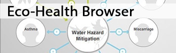
The Eco-Health Relationship Browser illustrates scientific evidence for linkages between ecosystem services and human health.
EnviroAtlas also includes geospatial tools to help with calculating some of the data layers that are available in the interactive map. Access and download these geospatial tools and scripts to conduct analyses at different spatial scales with user-supplied data. Please note, these tools may require specific versions of commercial GIS software.
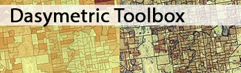
EnviroAtlas provides a downloadable Dasymetric Toolbox that allows users to more accurately distribute population data that has been assigned to arbitrary boundaries, such as census blocks. A national map for the dasymetric allocation of population is also available in the Interactive Map.

The Analytical Tools Interface for Landscape Assessments (ATtILA) is an ESRI ArcGIS toolbox that allows users to calculate many commonly used landscape metrics.
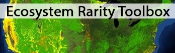 The Ecosystem Rarity Toolbox is a downloadable resource that allows users to calculate multiple measures of relative ecosystem rarity for their specific areas of interest. The Interactive Map also includes several data layers that show relative ecosystem rarity at the national-scale.

The Automated Geospatial Watershed Assessment (AGWA)Exit tool helps identify and prioritize potential problem areas at the watershed and subwatershed levels.
Additional decision-support tools and models can be found on the Related Resources and Links page.