Watershed Index Online (WSIO): Download 2016 Statewide RPS Tools

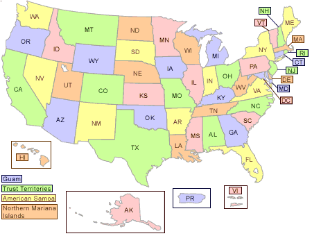
Users may download their own copy of pre-made Recovery Potential Screening (RPS) Statewide Tools for each of the lower 48 states from this web page (please contact EPA for information about tool development for HI, AK, territories or tribal lands). These tools will function using Excel 2007 or later version. The RPS Tool was the original, offline source for the development of the WSIO tool online.
Each statewide RPS Tool performs the same functions as the WSIO tool, with a few exceptions. One, the user does not define the project area in an RPS Tool because the tools are pre-set to fully cover each state. Two, these statewide RPS Tools use a simple mapping function within Excel to display color maps of the state's HUC12 watersheds alone (i.e., color-coded watersheds not superimposed over a base map with roads, place names, etc). Three, each of these tools is pre-loaded with data on over 230 indicators from the WSIO data library, so user selection of online indicator data is not necessary; additional indicators from WSIO or elsewhere can still be added to the RPS Tool's data table by the user on their downloaded copy.
Note: If your file does not function properly when first opened, close it and open a second time. It will be fully functional from then on.
