NHDPlusV1 Data
NHDPlus Version 1 Documentation
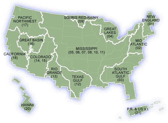
Select the data region of your choice by clicking on the map below or selecting the name from the list.
Note: The unusual map edge appearance is due to the use of the USGS quad map edges. The map extent shows the extent of the available quad maps.