Floodplain Properties of the GE-Pittsfield/Housatonic River Site
Overview of the Floodplain Properties
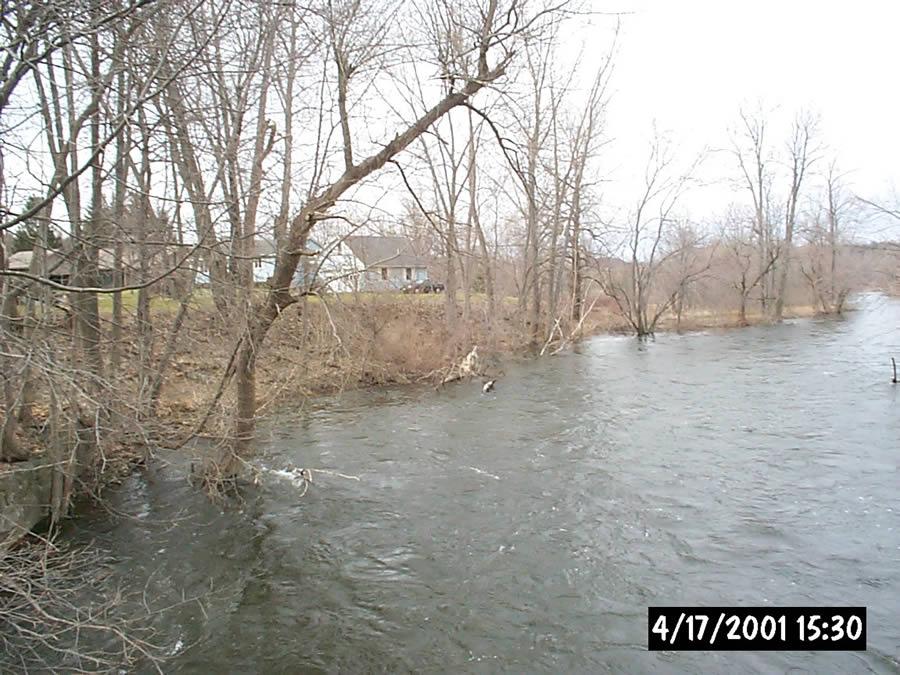
The cleanup agreement requires General Electric to investigate and cleanup PCBs in the soil of specific properties that lie within the Housatonic River floodplain, downstream of the Lyman Street Bridge. These floodplain areas have been identified using historic information about flood conditions along the river, as well as hydraulic models of the floodplain showing where soil PCB concentrations were predicted to equal 1 ppm. The floodplain properties located above Woods Pond that were identified in the cleanup agreement are presented on the following Figure: Housatonic River Floodplain Properties Under Investigation (PDF) (1 pg, 875 K, About PDF).
The cleanup agreement identifies three different categories of the floodplain properties, known as Removal Action Areas (RAAs):
- Floodplain Current Residential Properties Adjacent to 1½-Mile Reach- Actual/Potential Lawns;
- Floodplain Non-Residential Properties Adjacent to 1½-Mile Reach (Excluding Banks);
- Floodplain Residential Properties Downstream of Confluence - Actual/Potential Lawns.
- Floodplain Non-Residential Properties Downstream of Confluence.
Current status:
Cleanup is complete at the Floodplain Current Residential and Non-Residential Properties Adjacent to 1½-Mile Reach RAAs.
Sampling and investigative activities were initiated in 2013 at the Floodplain Residential Properties Downstream of Confluence - Actual/Potential Lawns RAA. Remediation of this RAA is anticipated to be initiated in 2015 and extend through 2016.
Floodplain Current Residential Properties Adjacent to 1½-Mile Reach - Actual/Potential Lawns
The 1½-Mile Reach consists of the river section between the Lyman Street bridge (upstream) and the confluence with the West Branch (downstream). This area includes the non-bank portion of 37 residential properties that are located within the floodplain. The riverbank and river bottom portion of these properties are excluded from the RAA and were remediated as part of the 1½ Mile Reach Removal Action.
GE conducted remediation and restoration activities at 27 of the 37 properties between June of 2005 and October 2007. This consisted of the removal and proper disposal of 10,810 cubic yards of soil. The remaining 10 properties did not require soil remediation to meet residential health-based Performance Standards.
In July 2008, GE submitted a Final Completion Report certifying that all actions required by the Consent Decree (excluding Post-Removal Site Control Activities) were completed and that the soil-related cleanup standards were met. On August 21, 2008, Massachusetts DEP sent a letter to EPA concurring that GE completed all actions required by the Consent Decree (excluding Post-Removal Site Control Activities).
On August 27, 2008, EPA issued GE a Certificate of Completion for the Floodplain Current Residential Properties Adjacent to 1½-Mile Reach- Actual/Potential Lawns RAA and transmitted the Certificate of Completion to GE, along with an approval letter for GE's Final Completion Report.GE is currently performing all required Post-Removal Site Control Activities, including inspection, monitoring and maintenance activities, as required by the Final Completion Report.
Floodplain Non-Residential Properties Adjacent to 1½-Mile Reach (Excluding Banks)
As noted above, the 1½-Mile Reach is defined by the Lyman Street bridge (upstream) and the confluence with the West Branch (downstream), including Fred Garner Park. This area includes non-bank portions of approximately 10 non-residential properties along this reach where such portions are located within the floodplain. Excluded from this area are those properties associated with the Former Oxbow Areas. In addition, the riverbank and river bottom portion of these properties are excluded from the RAA and were remediated pursuant to the 1½ Mile Reach Removal Action.
GE conducted remediation and restoration activities at six of the ten properties between May 2006 and October 2007. This consisted of the removal and properly disposed of 3,375 cubic yards of soil. The remaining four properties did not require soil remediation to meet the applicable Performance Standards.
In April 2010, GE submitted a Final Completion Report certifying that all actions required by the Consent Decree (excluding Post-Removal Site Control Activities) were completed and that the soil-related Performance Standards were met. On May 17, 2010, EPA issued GE a Certificate of Completion for the Floodplain Non-Residential Properties Adjacent to 1½-Mile Reach (Excluding Banks) RAA and transmitted the Certificate of Completion to GE, along with an approval letter for GE's Final Completion Report.
GE is currently performing all required Post-Removal Site Control Activities, including inspection, monitoring and maintenance activities, as required by the Final Completion Report.
Floodplain Residential Properties Downstream of Confluence - Actual/Potential Lawns
This area begins at the confluence of the East and West Branches of the Housatonic River and extends downriver. This area includes approximately 8 residential properties between the confluence and Woods Pond Dam and approximately 31 residential properties downstream of Woods Pond Dam, located within the floodplain that were found to have, or potentially may have, PCBs at concentrations greater than 2 ppm. Based on the initial sampling, properties may be added to or deleted from this RAA.
Per the Consent Decree, GE shall investigate each property and determine the spatial average PCB and, potentially, non-PCB contaminant concentrations in the property soils at various depth intervals (down to a maximum of 15 feet). If the soil spatial average concentration exceeds the 2 ppm PCB standard in the 0-1 foot or 1-X foot interval (where X is the depth at which PCBs are detected), or if any surface sample exceeds the 10 PCB ppm standard presented in the Consent Decree, cleanup actions will be required.
Investigation and sampling activities were initiated in July 2013 and are anticipated to be substantially completed in 2015. Cleanup of these properties, if required, is anticipated to be initiated in 2015 and extend throughout 2016.
Floodplain Non-Residential Properties Downstream of Confluence
Non-residential floodplain properties downstream of the confluence are considered part of the Rest of River area of the site, and are discussed with the Rest of River Investigations.
Reports for the Floodplain Properties
- Residential and Non-Residential Floodplain Properties Adjacent to the 1 1/2 Mile Reach – General
- 1 1/2 Mile Reach Phase 1 Floodplain Properties - Submittals, Reports and Correspondence
- 1 1/2 Mile Reach Phase 2 Floodplain Properties - Submittals, Reports and Correspondence
- 1 1/2 Mile Reach Phase 3 Floodplain Properties - Submittals, Reports and Correspondence
- 1 1/2 Mile Reach Phase 4 Floodplain Properties - Submittals, Reports and Correspondence
- Floodplain Residential Properties Downstream of the Confluence


