About the Charles River
The Charles River Watershed

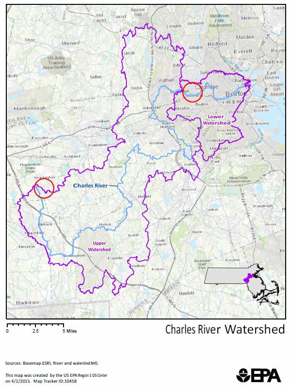
The Charles River flows 80 miles from Hopkinton, Mass. to Boston Harbor. The Charles River is the most prominent urban river in New England. It is a major source of recreation and a readily-available connection to the natural world for residents of the Boston metropolitan area. The entire Charles River drains rain and melted snow from a watershed area of 310 square miles. Two hundred and sixty-eight square miles of that watershed area drain over the Watertown Dam into the Lower Charles River. The remaining 42 square miles drain directly into the Lower Charles River.
The headwaters of the Charles River are in Hopkinton, Massachusetts. From there, the river flows through the municipalities of Milford, Bellingham, Franklin, Medway, Millis, Medfield, Sherborn, Dover, Natick, Wellesley, Needham, Dedham, Newton, Waltham, Watertown, Cambridge and Boston, MA and from there into Boston Harbor.
The Charles River is a feature of the Greater Boston Area, and is one of the major sources of recreation for residents. The "Lower Charles" – the area from the Watertown Dam to Boston Harbor – is one of the busiest recreational river segments in the world, lined with boat houses, jogging paths, sports fields and concert performance facilities that are used heavily by Bostonians each year.
The Charles River has historically suffered from earlier industrial contamination – most of which has been directly caused by the densely populated area through which the river flows. The major types of pollution have been excess bacteria caused by sewage contaminating the river water; and excessive amounts of nutrients entering the river. During the warm summer months, excess nutrients cause algal blooms that can be toxic to animals and people.
Historical Timeline
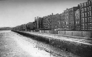
 Back Bay before Boston Harbor Dam existed.
Urbanization and associated degradation of the Charles River has occurred over a four hundred year period starting in the early 1600s when Boston was among the earliest European settlements in the U.S.. EPA and its partners have been working to reverse that degradation since 1995. The improvement in the river's health is an extraordinary accomplishment.
This timeline takes you through the history of human impact on the Charles River as the City of Boston grew:
