Photo Gallery for the Southeast New England Coastal Watershed Restoration Program
- Oyster Pond Furlong Site (Oyster Pond, Chatham, MA)
- Gateway Marina Site (Hyannis Inner Harbor, Hyannis, MA)
- SNECWRP Public Launch - October 2014
- Photographs of the Southeast New England Region
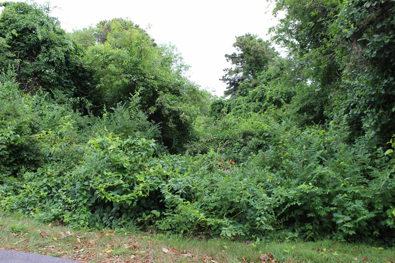
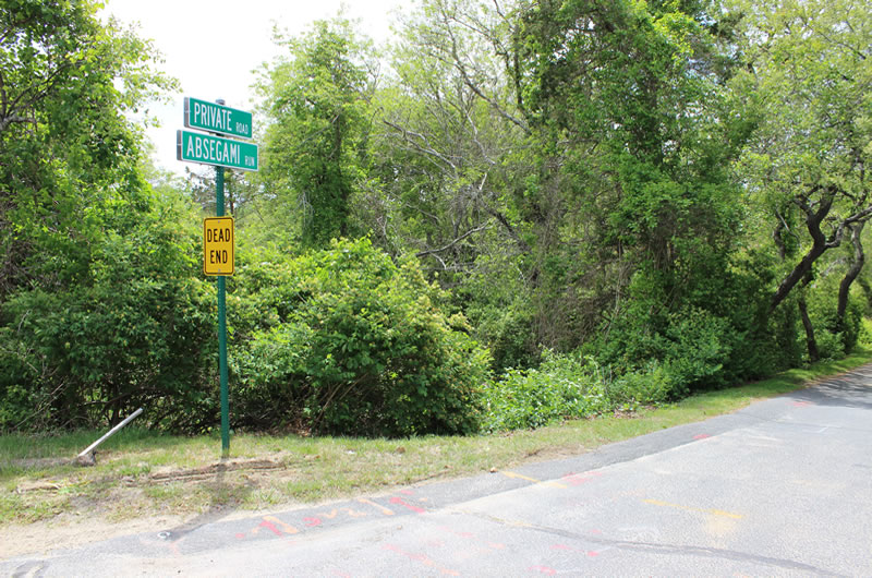
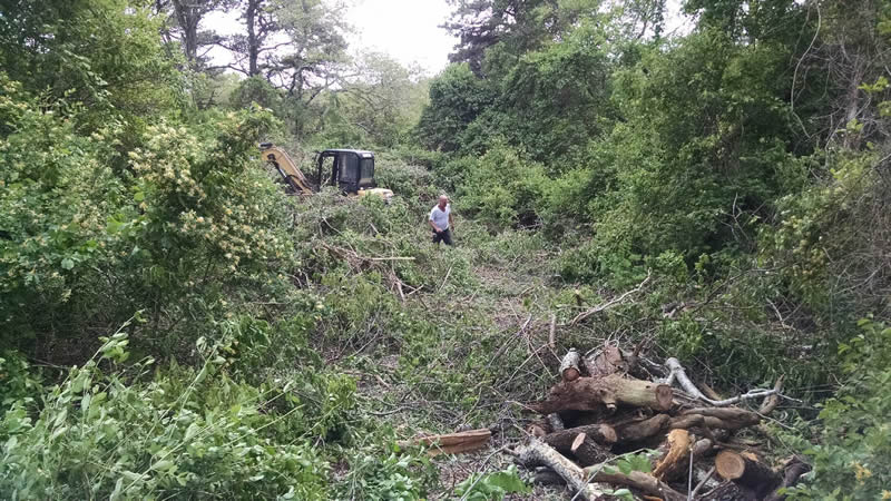
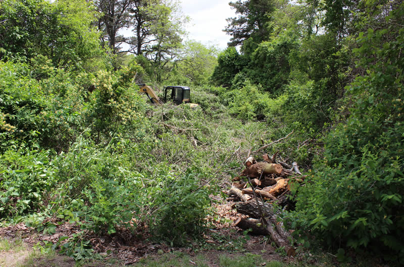
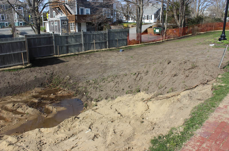
Oyster Pond Furlong Site (Oyster Pond, Chatham, MA)

![Before Site Clearing [06/03/2015]](/sites/production/files/styles/large/public/2016-03/chatham-201506-1-sm.jpg "Before Site Clearing [06/03/2015]")

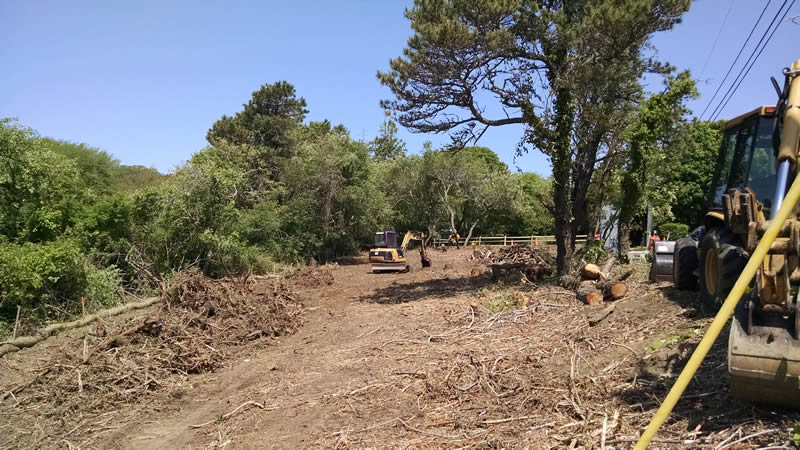
![Site Clearing [06/03/2015]](/sites/production/files/styles/large/public/2016-03/chatham-201506-2-sm.jpg "Site Clearing [06/03/2015]")

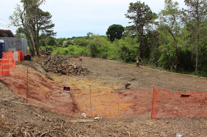
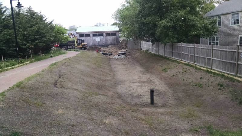
![Site Cleared [06/17/2015]](/sites/production/files/styles/large/public/2016-03/chatham-201506-3-sm.jpg "Site Cleared [06/17/2015]")

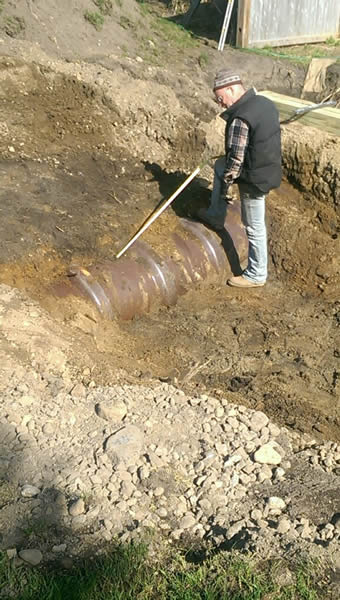
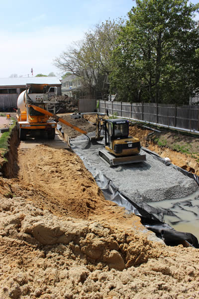
![ISR Stone [08/2015]](/sites/production/files/styles/large/public/2016-03/chatham-201508-1-sm.jpg "ISR Stone [08/2015]")
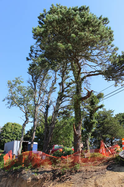
![Trees Needing Removal [08/2015]](/sites/production/files/styles/large/public/2016-03/chatham-201508-2-sm.jpg "Trees Needing Removal [08/2015]")
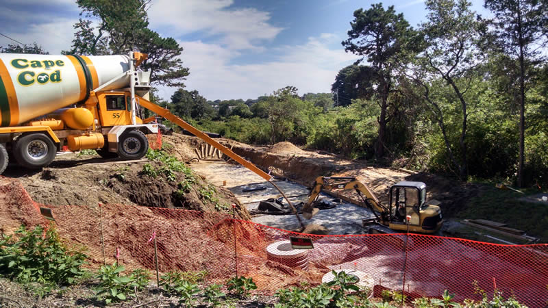
![Delivering ISR Stone [08/12/2015]](/sites/production/files/styles/large/public/2016-03/chatham-201508-3-sm.jpg "Delivering ISR Stone [08/12/2015]")
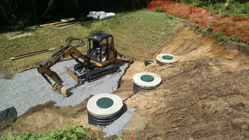
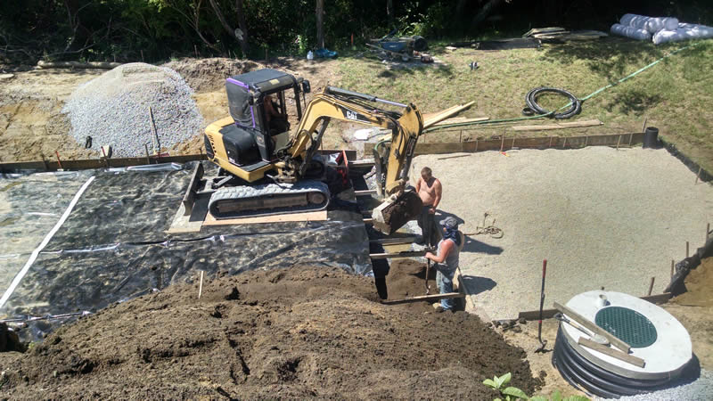
![Inlet Structure Arrray [08/12/2015]](/sites/production/files/styles/large/public/2016-03/chatham-201508-4-sm.jpg "Inlet Structure Arrray [08/12/2015]")
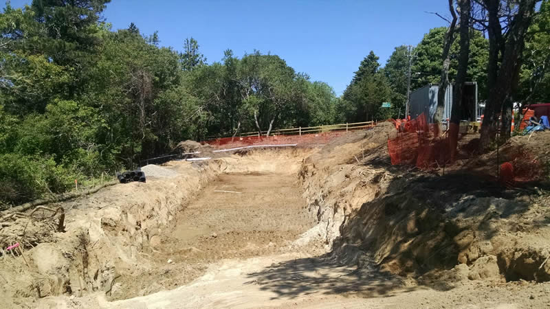
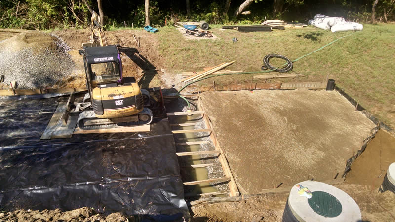
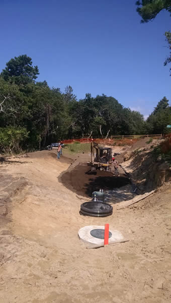
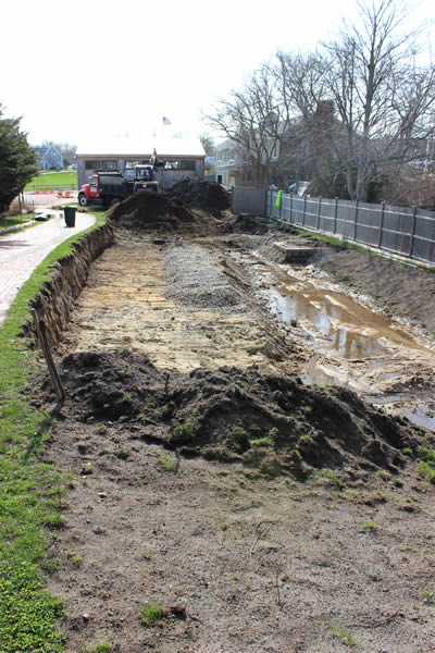
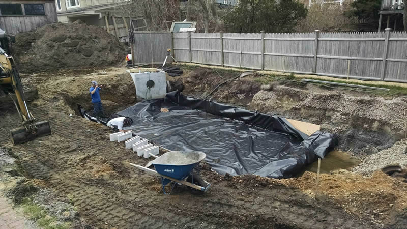
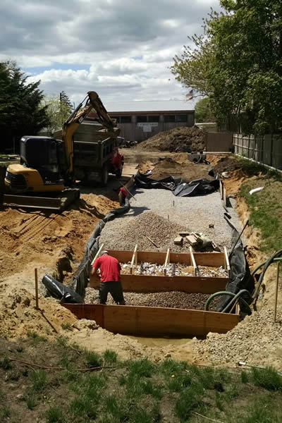
![Forebay and Infiltration Zone [08/13/2015]](/sites/production/files/styles/large/public/2016-03/chatham-201508-5-sm.jpg "Forebay and Infiltration Zone [08/13/2015]")
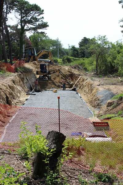
![Forebay and Infiltration Zone [08/13/2015]](/sites/production/files/styles/large/public/2016-03/chatham-201508-6-sm.jpg "Forebay and Infiltration Zone [08/13/2015]")
![Biosoil Top Layer [08/19/2015]](/sites/production/files/styles/large/public/2016-03/chatham-201508-7-sm.jpg "Biosoil Top Layer [08/19/2015]")
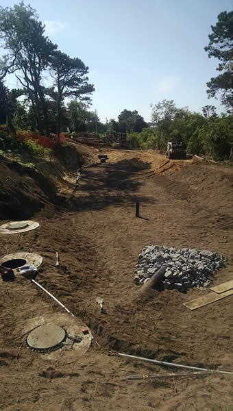
![Forebay and Biosoil [08/20/2015]](/sites/production/files/styles/large/public/2016-03/chatham-201508-8-sm.jpg "Forebay and Biosoil [08/20/2015]")
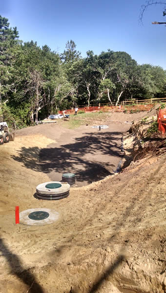
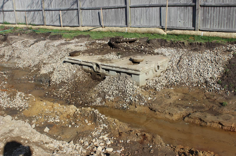
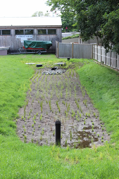
![Outlet Structure Array [08/20/2015]](/sites/production/files/styles/large/public/2016-03/chatham-201508-9-sm.jpg "Outlet Structure Array [08/20/2015]")
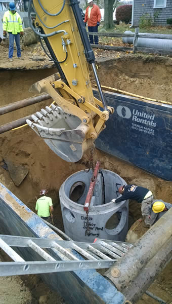
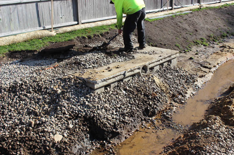
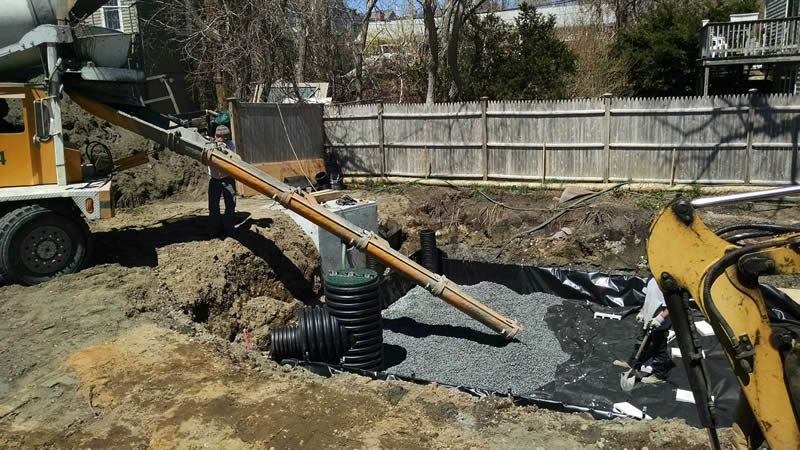
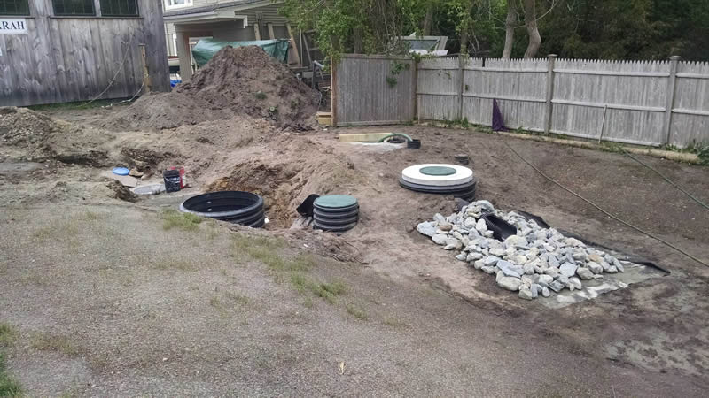
![Placing D Structure [11/2015]](/sites/production/files/styles/large/public/2016-03/chatham-201511-1-sm.jpg "Placing D Structure [11/2015]")
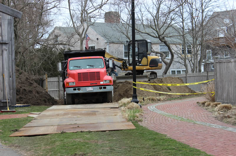
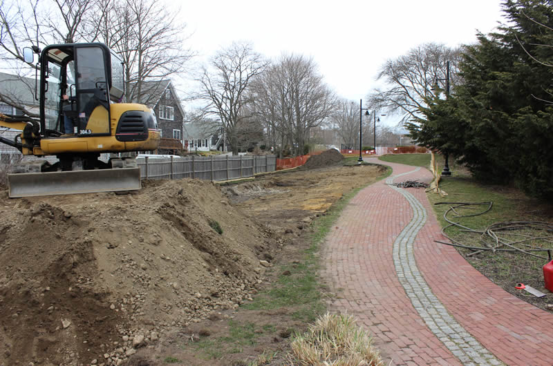
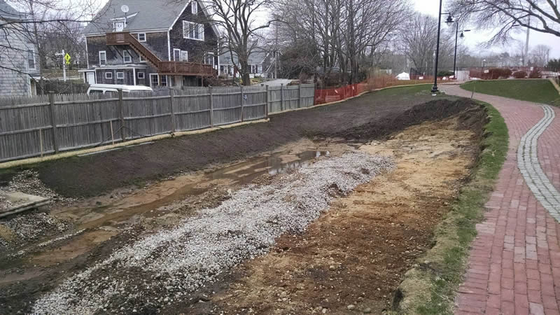
Gateway Marina Site (Hyannis Inner Harbor, Hyannis, MA)

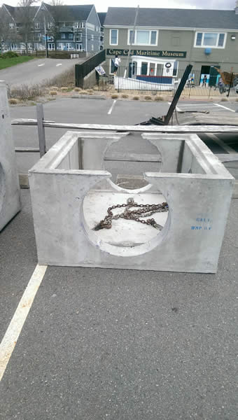
![Gateway Marina Barnstable BMP Parcel [Before]](/sites/production/files/styles/large/public/2015-08/gateway-marina-2-sm.jpg "Gateway Marina Barnstable BMP Parcel [Before]")
![Gateway Marina Barnstable BMP Parcel [Before]](/sites/production/files/styles/large/public/2015-08/gateway-marina-3-sm.jpg "Gateway Marina Barnstable BMP Parcel [Before]")
![Materials Management [04/14/2015]](/sites/production/files/styles/large/public/2016-03/barnstable-201504-1-sm.jpg "Materials Management [04/14/2015]")
![Materials Management [04/14/2015]](/sites/production/files/styles/large/public/2016-03/barnstable-201504-2-sm.jpg "Materials Management [04/14/2015]")
![Public Outreach [04/14/2015]](/sites/production/files/styles/large/public/2016-03/barnstable-201504-3-sm.jpg "Public Outreach [04/14/2015]")

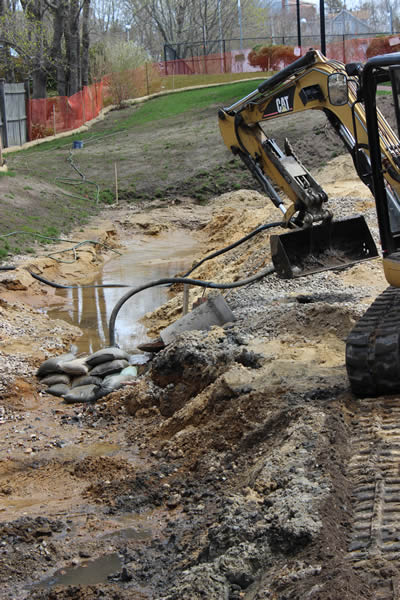
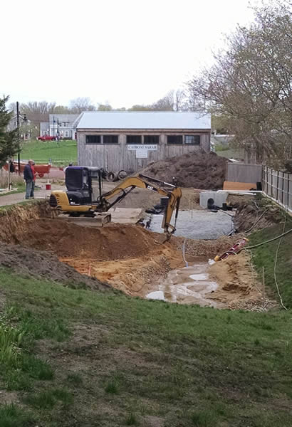
![Excavation and Grading of Barnstable BMP [04/21/2015]](/sites/production/files/styles/large/public/2015-08/gateway-marina-4-sm.jpg "Excavation and Grading of Barnstable BMP [04/21/2015]")
![Materials Management [04/21/2015]](/sites/production/files/styles/large/public/2016-03/barnstable-201504-4-sm.jpg "Materials Management [04/21/2015]")
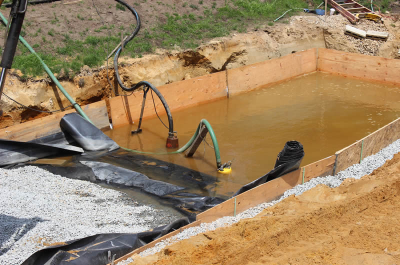
![Leaching Field [04/21/2015]](/sites/production/files/styles/large/public/2016-03/barnstable-201504-5-sm.jpg "Leaching Field [04/21/2015]")
![Leaching Field [04/21/2015]](/sites/production/files/styles/large/public/2016-03/barnstable-201504-6-sm.jpg "Leaching Field [04/21/2015]")
![Barnstable - MS4 Trunk Line [04/22/2015]](/sites/production/files/styles/large/public/2016-03/barnstable-201504-7-sm.jpg "Barnstable - MS4 Trunk Line [04/22/2015]")

![Barnstable D-Structure Install [04/23/2015]](/sites/production/files/styles/large/public/2016-03/barnstable-201504-8-sm.jpg "Barnstable D-Structure Install [04/23/2015]")
![Groundwater [04/2015]](/sites/production/files/styles/large/public/2016-03/barnstable-201504-9-sm.jpg "Groundwater [04/2015]")
![Materials Management [04/28/2015]](/sites/production/files/styles/large/public/2016-03/barnstable-201504-10-sm.jpg "Materials Management [04/28/2015]")
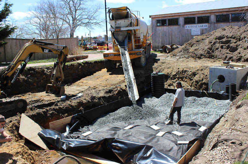
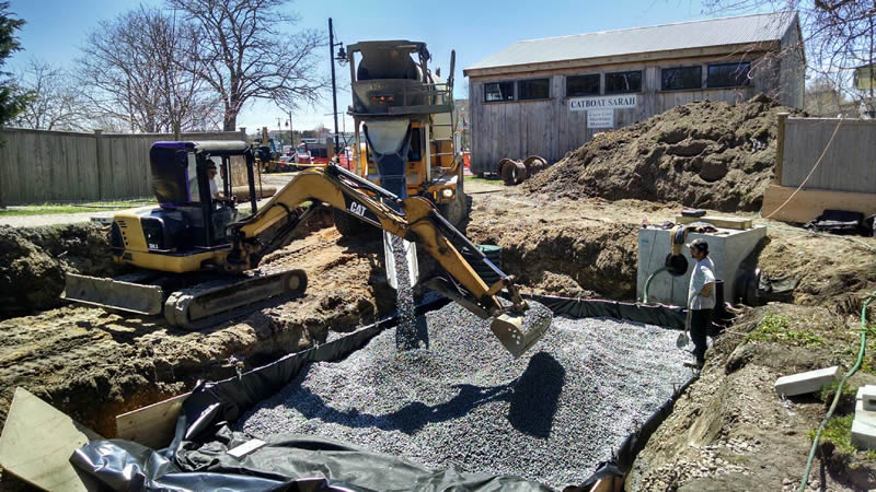
![Installation of the Geotextile Bottom Liner at Barnstable BMP Site [04/29/2015]](/sites/production/files/styles/large/public/2015-08/gateway-marina-8-sm.jpg "Installation of the Geotextile Bottom Liner at Barnstable BMP Site [04/29/2015]")
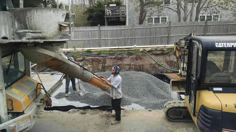
![Gravel Being Poured into Barnstable BMP on top of Geotextile Lining [04/29/2015]](/sites/production/files/styles/large/public/2015-08/gateway-marina-7-sm.jpg "Gravel Being Poured into Barnstable BMP on top of Geotextile Lining [04/29/2015]")
![Gravel Being Poured into Barnstable BMP on top of Geotextile Lining [04/29/2015]](/sites/production/files/styles/large/public/2016-03/barnstable-201504-11-sm.jpg "Gravel Being Poured into Barnstable BMP on top of Geotextile Lining [04/29/2015]")
![Barnstable - Constructing Anearobic Bioreactor [04/29/2015]](/sites/production/files/styles/large/public/2016-03/barnstable-201504-12-sm.jpg "Barnstable - Constructing Anearobic Bioreactor [04/29/2015]")
![Materials Management [05/2015]](/sites/production/files/styles/large/public/2016-03/barnstable-201505-1-sm.jpg "Materials Management [05/2015]")
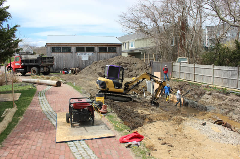
![Barnstable - Construction Logistics [05/06/2015]](/sites/production/files/styles/large/public/2016-03/barnstable-201505-2-sm.jpg "Barnstable - Construction Logistics [05/06/2015]")
![Barnstable - Delivering ISR Stone [05/06/2015]](/sites/production/files/styles/large/public/2016-03/barnstable-201505-3-sm.jpg "Barnstable - Delivering ISR Stone [05/06/2015]")
![Groundwater [05/12/2015]](/sites/production/files/styles/large/public/2016-03/barnstable-201505-4-sm.jpg "Groundwater [05/12/2015]")
![Barnstable - Infiltration Basin and Begin Biosoil [05/14/2015]](/sites/production/files/styles/large/public/2016-03/barnstable-201505-5-sm.jpg "Barnstable - Infiltration Basin and Begin Biosoil [05/14/2015]")
![Barnstable - Finish Grading [05/27/2015]](/sites/production/files/styles/large/public/2016-03/barnstable-201505-6-sm.jpg "Barnstable - Finish Grading [05/27/2015]")
![Barnstable - Input and Output Structure Arrays [05/27/2015]](/sites/production/files/styles/large/public/2016-03/barnstable-201505-7-sm.jpg "Barnstable - Input and Output Structure Arrays [05/27/2015]")
![Barnstable Site at Gateway Marina Landscaped, Finished BMP [06/2015]](/sites/production/files/styles/large/public/2015-08/gateway-marina-9-sm.jpg "Barnstable Site at Gateway Marina Landscaped, Finished BMP [06/2015]")
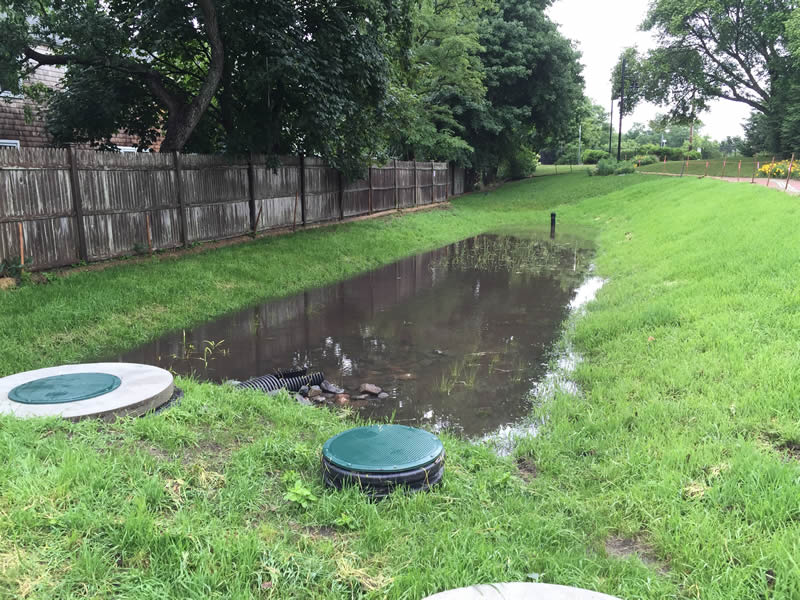
![Hyannis BMP after Large Flash Storm Event [07/01/2015]](/sites/production/files/styles/large/public/2015-08/gateway-marina-10-sm.jpg "Hyannis BMP after Large Flash Storm Event [07/01/2015]")
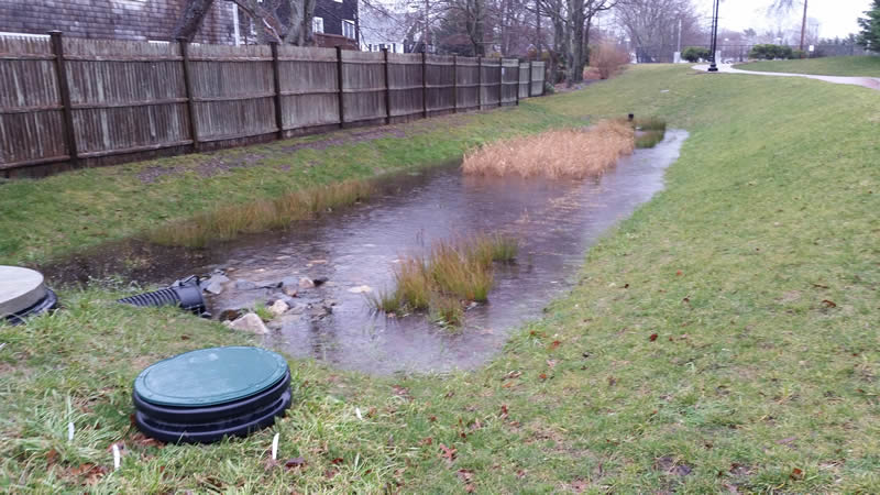
![Hyannis - 1.71 in Storm [02/11/2016]](/sites/production/files/styles/large/public/2016-03/barnstable-201602-1-sm.jpg "Hyannis - 1.71 in Storm [02/11/2016]")
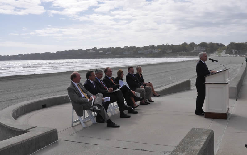
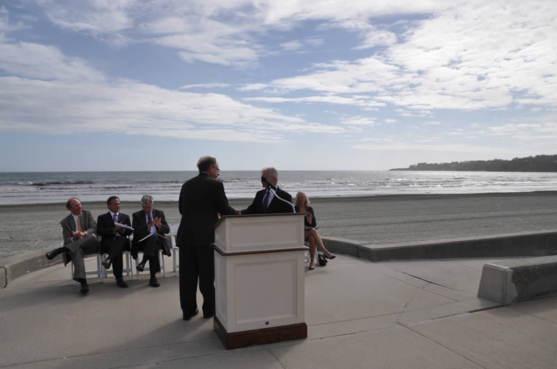
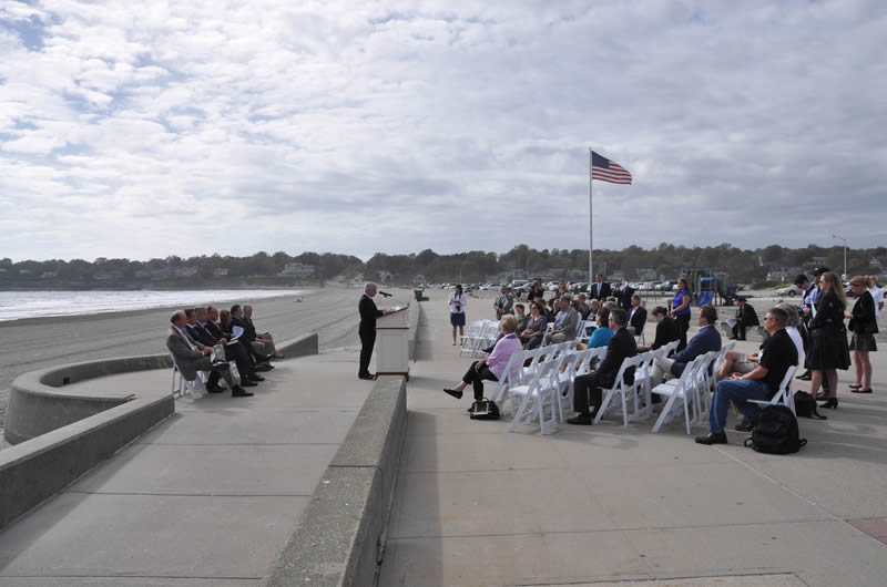
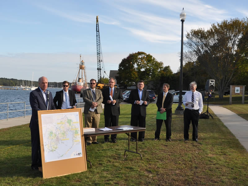
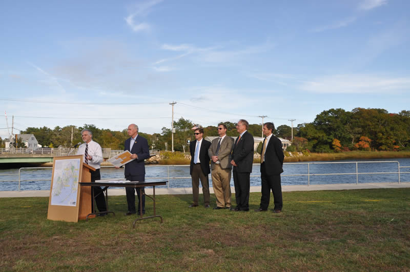
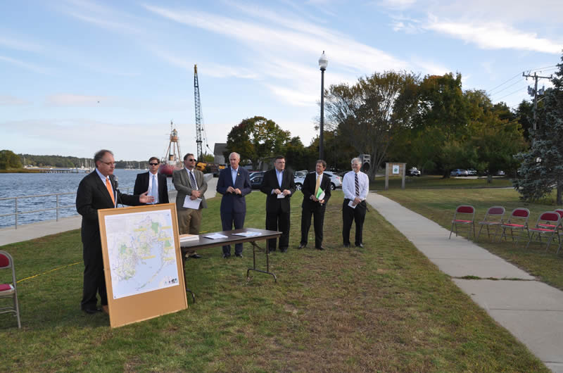
SNECWRP Public Launch - October 2014
, the Chairman of the Appropriations Subcommittee on Interior & Environment, spearheaded the SNECWRP effort to make $2 million in federal funding available for this program.")
.")

 speaks to a crowd in Wareham, MA about Massachusetts' role in the SNECWR Program.")


 announces sub-award winners for projects in the Narragansett Bay watershed.")
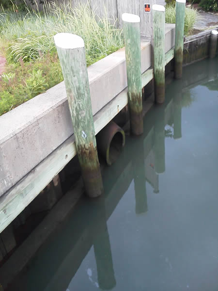
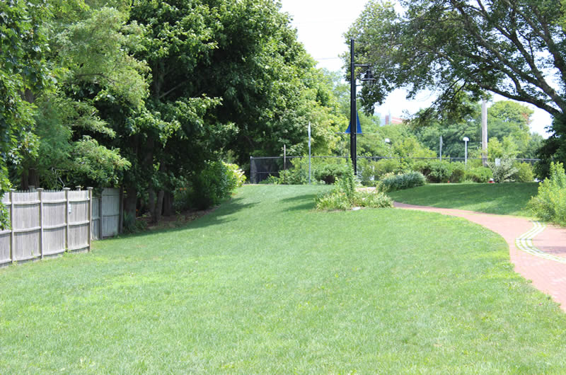
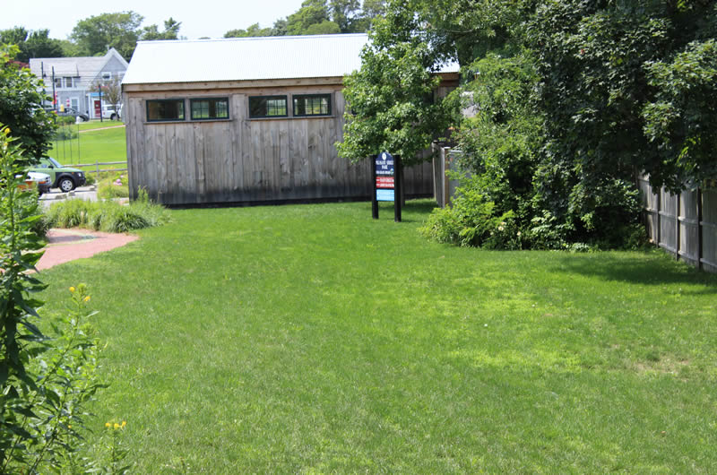
Photographs of the Southeast New England Region
") View a larger version of this image.
View a larger version of this image.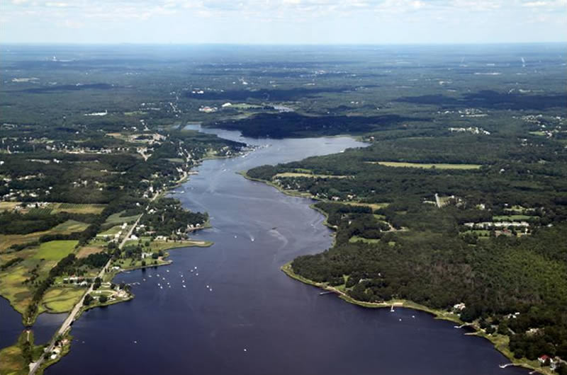
(Photo Credit - Save the Bay)
") View a larger version of this image.
View a larger version of this image.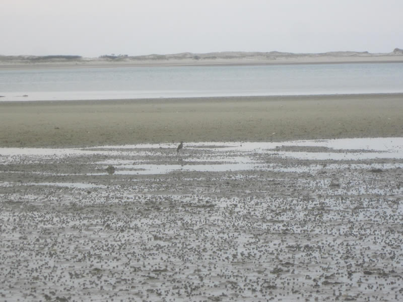
(Photo Credit - Cape Cod Commission)
") View a larger version of this image.
View a larger version of this image.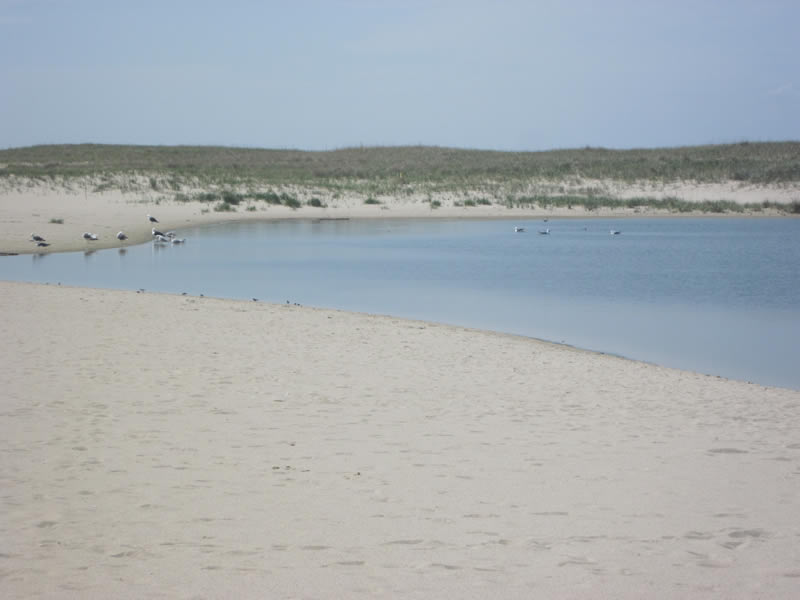
(Photo Credit - Cape Cod Commission)
") View a larger version of this image.
View a larger version of this image.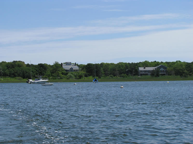
(Photo Credit - Cape Cod Commission)
") View a larger version of this image.
View a larger version of this image. 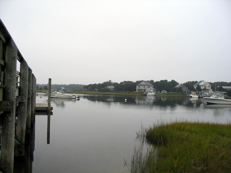
(Photo Credit - Cape Cod Commission)
") View a larger version of this image.
View a larger version of this image.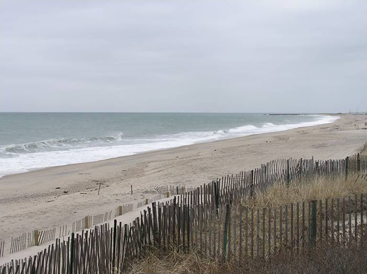
(Photo Credit - Save the Bay)
") View a larger version of this image.
View a larger version of this image. 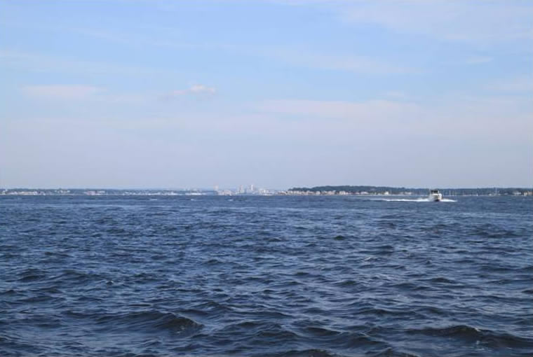
(Photo Credit - Save the Bay)
") View a larger version of this image.
View a larger version of this image.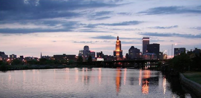
(Photo Credit - Save the Bay)
") View a larger version of this image.
View a larger version of this image. 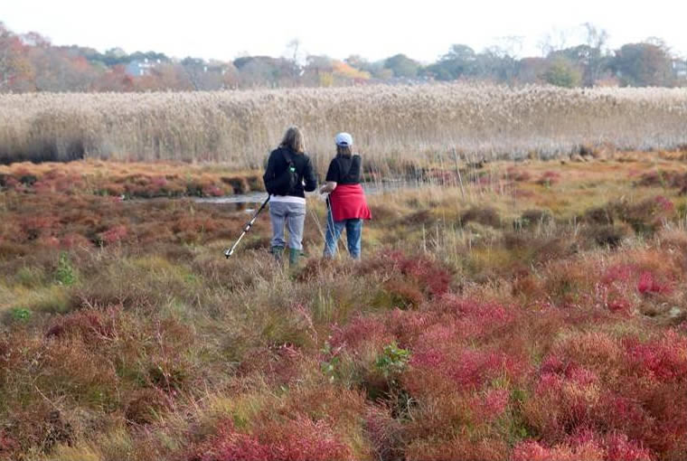
(Photo Credit - Save the Bay)
") View a larger version of this image.
View a larger version of this image. 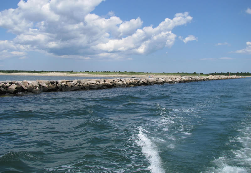
(Photo Credit - Cape Cod Commission)
") View a larger version of this image.
View a larger version of this image. 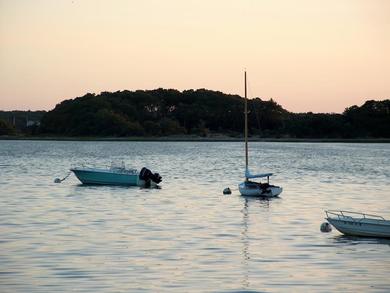
(Photo Credit - Buzzards Bay National Estuary Program)
") View a larger version of this image.
View a larger version of this image. 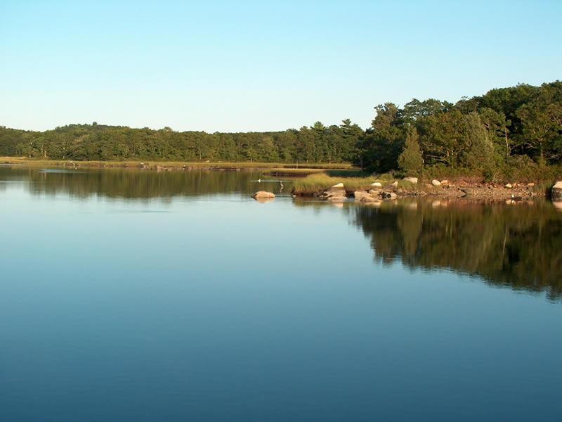
(Photo Credit - Buzzards Bay National Estuary Program)
") View a larger version of this image.
View a larger version of this image. 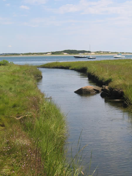
(Photo Credit - Buzzards Bay National Estuary Program)
") View a larger version of this image.
View a larger version of this image. 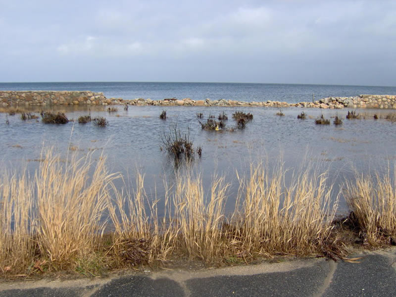
(Photo Credit - Buzzards Bay National Estuary Program)
") View a larger version of this image.
View a larger version of this image. 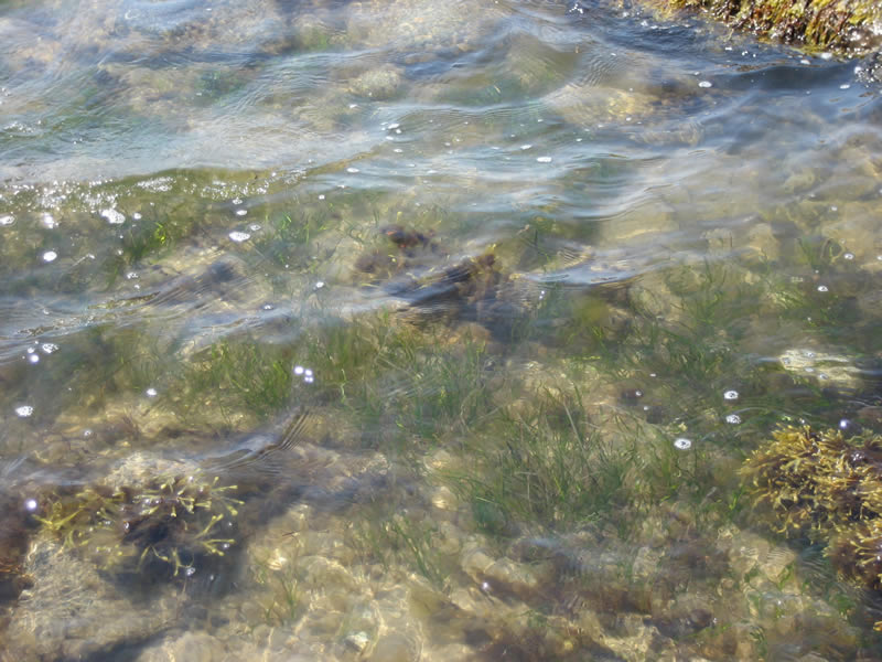
(Photo Credit - Buzzards Bay National Estuary Program)
") View a larger version of this image.
View a larger version of this image. 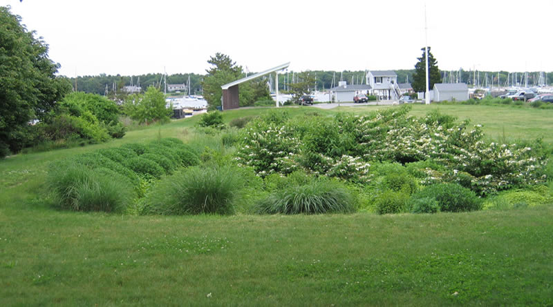
(Photo Credit - Buzzards Bay National Estuary Program)
") View a larger version of this image.
View a larger version of this image. 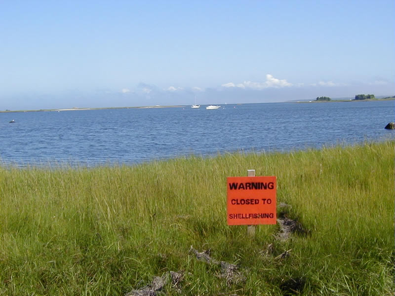
(Photo Credit - Buzzards Bay National Estuary Program)
") View a larger version of this image.
View a larger version of this image.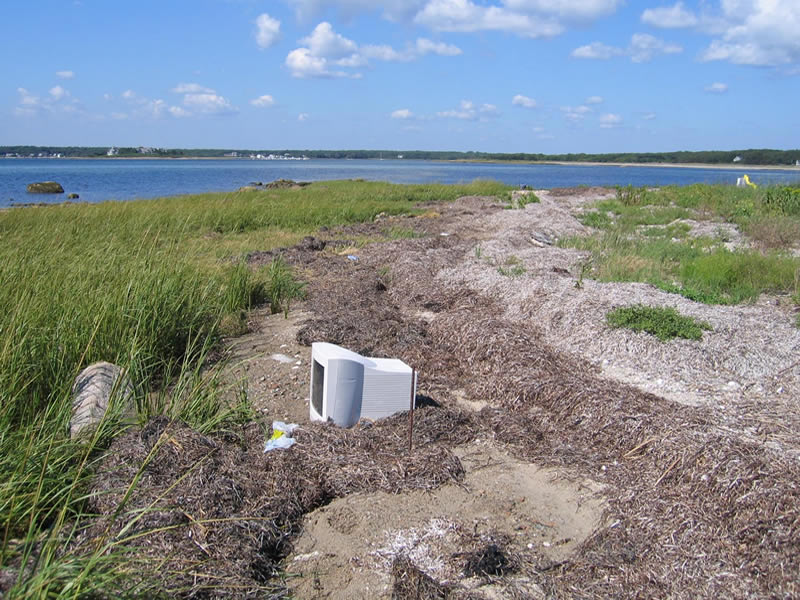
(Photo Credit - Buzzards Bay National Estuary Program)
") View a larger version of this image.
View a larger version of this image.
(Photo Credit - Buzzards Bay National Estuary Program)
") View a larger version of this image.
View a larger version of this image. 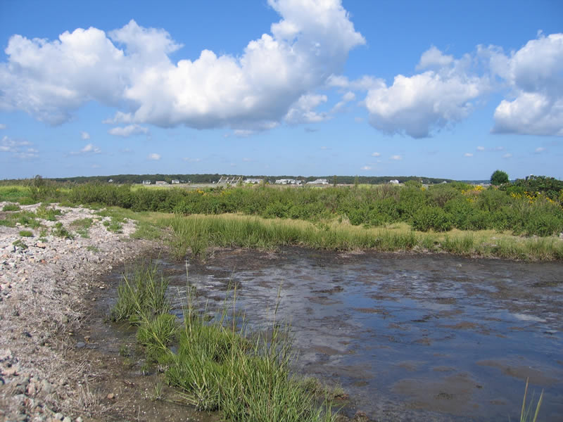
(Photo Credit - Buzzards Bay National Estuary Program)
") View a larger version of this image.
View a larger version of this image. 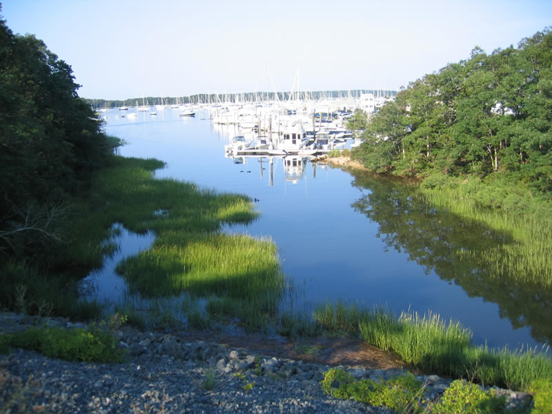
(Photo Credit - Buzzards Bay National Estuary Program)
") View a larger version of this image.
View a larger version of this image. 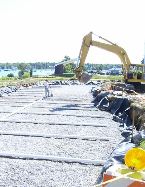
(Photo Credit - Buzzards Bay National Estuary Program)
") View a larger version of this image.
View a larger version of this image. 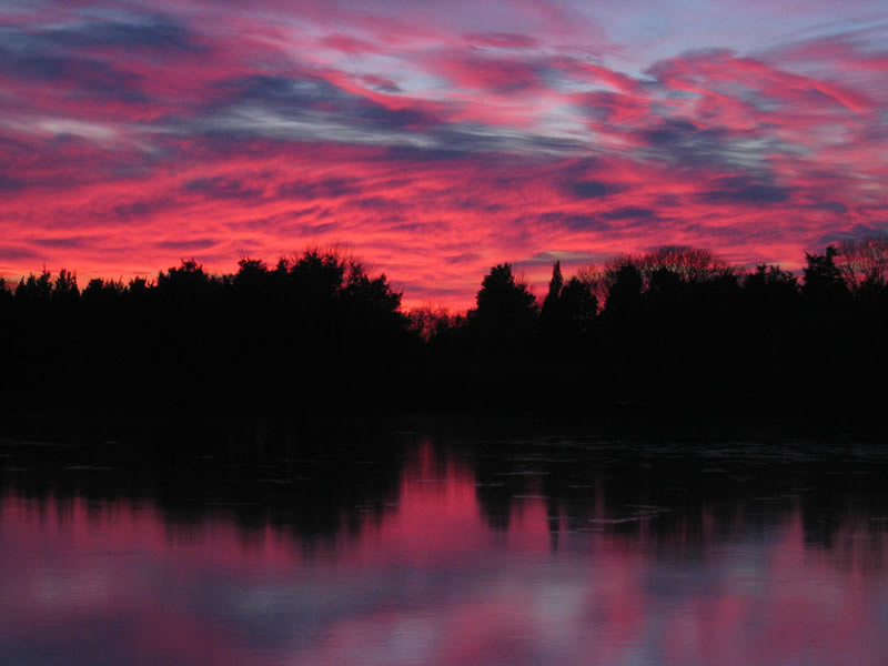
(Photo Credit - Buzzards Bay National Estuary Program)
") View a larger version of this image.
View a larger version of this image. 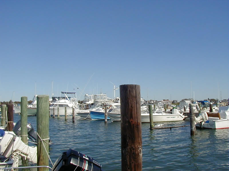
(Photo Credit - Buzzards Bay National Estuary Program)
") View a larger version of this image.
View a larger version of this image. 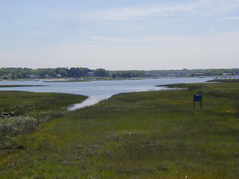
(Photo Credit - Buzzards Bay National Estuary Program)
") View a larger version of this image.
View a larger version of this image. 
(Photo Credit - Buzzards Bay National Estuary Program)