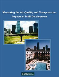
Many regions are struggling to balance transportation needs with community revitalization and environmental protection. Infill development can support all three goals. Well-designed neighborhoods in convenient, accessible locations make walking, biking, and public transit more appealing options. Therefore, encouraging infill development can help more people meet their everyday needs with less driving, which can reduce traffic congestion and improve regional air quality.
Measuring the Air Quality and Transportation Impacts of Infill Development (2007) summarizes three regional infill development scenarios to illustrate how regions can calculate the air quality and transportation benefits of infill. The approach relies upon standard transportation forecasting models currently used by metropolitan planning organizations around the country. Each case tests slightly different approaches to quantifying the transportation and air quality impacts within traditional four-step travel-demand models.
The analysis shows how standard forecasting tools can be modified to capture at least some of the transportation and air quality benefits of brownfield and infill development. Some of the key modifications include:
- Indices to reflect how mixed-use development changes travel patterns
- Adjustments to account for shifts to non-motorized travel
- Smaller analysis zones in the models to capture the impact of neighborhood land use patterns
- Emissions estimates based on the number of car trips as well as distance traveled
Key Findings
In each of the regions, redirecting jobs and households to redevelopment sites was forecast to reduce travel, congestion, and emissions from cars.
- Over time, shifting 8 percent of Denver's jobs and households toward 10 regional centers reduced congestion by 6 percent and emissions by 4 percent. This is equivalent to removing nearly half a million trips per day from the region's roads, a significant share of the daily average.
- The Charlotte scenario evaluated infill development along the South Corridor light-rail stations. It concluded that although new rail service by itself would reduce congestion in the corridor, redirecting 16,000 households and 10,000 jobs to station areas would produce 10 times more emission reductions and increase transit ridership by more than 6,000 trips each day.
- In Boston, the analysis considered redevelopment of brownfield sites in 13 suburban towns along the I-495 corridor. Redirecting new development to these town centers reduced vehicle travel by 154,000 miles per day during the evening rush hour. This reduction was equivalent to eliminating more than 10,000 trips, similar to the additional traffic accommodated by multi-million dollar road-widening projects proposed for these towns.
The results of this analysis suggest that strong support for infill development can be one of the most effective transportation and emission-reduction investments a region can pursue.
Learn more about smart growth and transportation.
Learn more about smart growth, brownfields, and infill development.
You will need Adobe Reader to view some of the files on this page. See EPA’s About PDF page to learn more.