StreamCat
EPA's Office of Research and Development (ORD) has developed the Stream-Catchment (StreamCat) dataset, an extensive collection of landscape metrics for 2.6 million streams and associated catchments within the conterminous U.S. StreamCat includes both natural and human-related landscape features. The data are summarized both for individual stream catchments and for cumulative upstream watersheds, based on the National Hydrography Dataset Plus Version 2 geospatial framework.
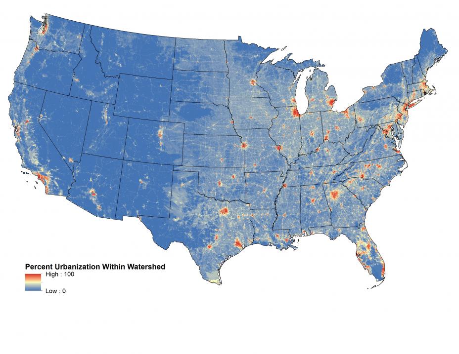
StreamCat data are being utilized to develop national maps of aquatic condition and watershed integrity, and can be used to model and predict reference condition for the National Rivers and Streams Assessment (NRSA). The data will also be useful to states that are conducting similar assessments. StreamCat data, which are available to the public for download, provide an important tool for stream researchers and managers to understand and characterize the Nation’s rivers and streams. Example of a U.S. map created using StreamCat data on percent urbanization within a watershed.
