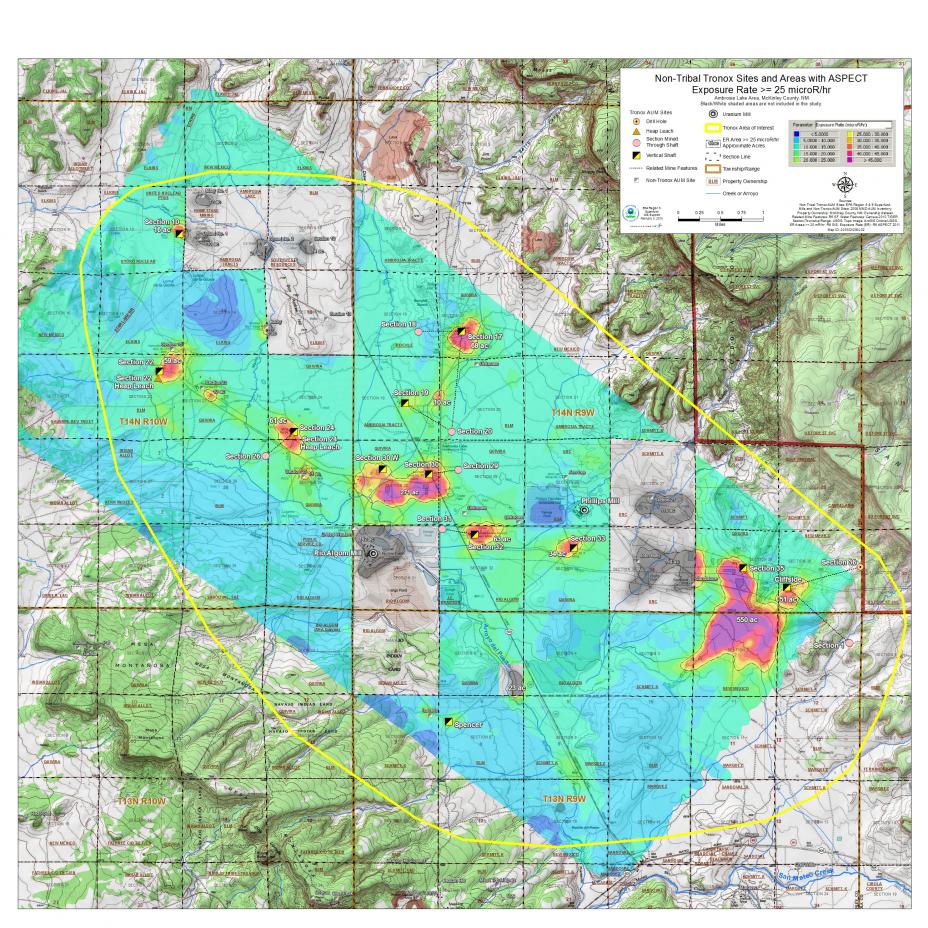
Results of Aerial Surveys of Gamma Radiation around Ambrosia Lake
 Click on the map to view a larger version that will allow you to zoom into any part of the map.
This map shows an aerial gamma survey of non-operational mines related to the Tronox Navajo Area Uranium Mines area of the Ambrosia Lake Sub-district of the Grants Mining District. The results are shown in color coded concentrations. Micro Roentgen (microR) is the way that gamma radiation is measured in air.
For more information about the Ambrosia Lake survey results, view the Aerial Radiological Survey of the Ambrosia Lake Uranium Mines report. For information about the Poison Canyon survey results, view the Aerial Radiological Survey of the Poison Canyon Uranium Mines report.
