Former Filled Oxbows of the GE-Pittsfield/Housatonic River Site
Overview of the Former Filled Oxbows
During the early 1940s, a portion of the Housatonic River in Pittsfield was rechannelized by the City (with the help of the Army Corps of Engineers) to straighten that stretch of the river for flood control purposes. The rechannelization process isolated former bends in the old river channel, creating a number of former oxbows.
These swampy areas were subsequently backfilled with various material, including some industrial wastes from GE. A total of 11 former oxbow areas were identified near the GE facility in Pittsfield. One of the 11 former oxbows, Former Oxbow H, is located within the GE Plant Area, in the East Street Area 2 - South Removal Action Area (RAA). The other 10 Former Oxbows are located within the five 'Removal Action Areas' (RAAs) described below.
Current status
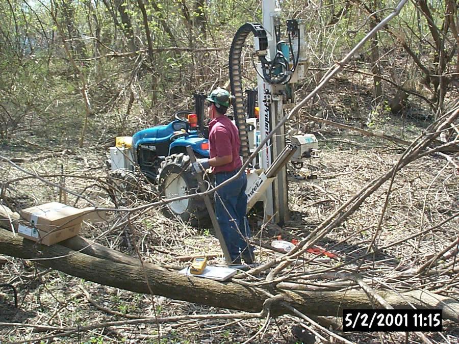
Investigation and remediation activities are complete. EPA approved GE's Final Completion Reports with Certificates of Completion for all RAAs. GE is currently performing all required Post-Removal Site Control Activities, including inspection, monitoring and maintenance activities, as required by the Final Completion Reports.
Cleanup activities started in September 2003 and were completed in June 2009. In total, 48,705 cubic yards of soil were removed, 355,850 square feet (approximately 8.2 acres) of engineered barriers were installed, and 598 drums of waste were transported off-site for disposal. Approximately 6,015 cubic yards of the excavated soil was disposed of in the Hill 78 On-Plant Consolidation Area, approximately 35,940 cubic yards of soil was disposed of in the Building 71 On-Plant Consolidation Area and the remaining 6,750 cubic yards of soil was disposed of at licensed off-site disposal facilities. In addition, the demolition debris from two buildings was placed in the Building 71 On-Plant Consolidation Area.
Former Oxbow Areas A and C
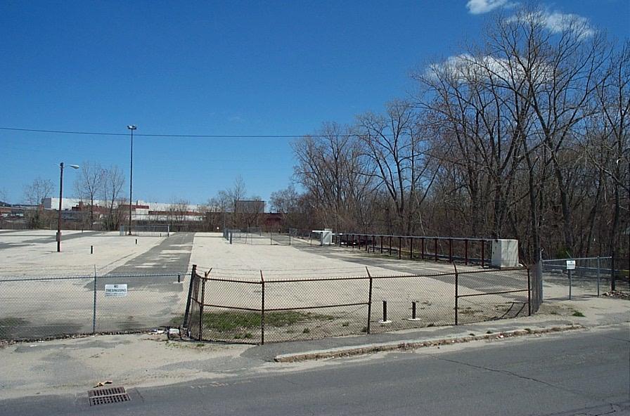
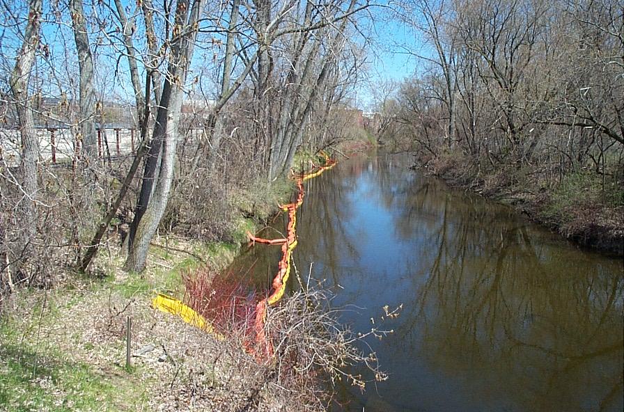
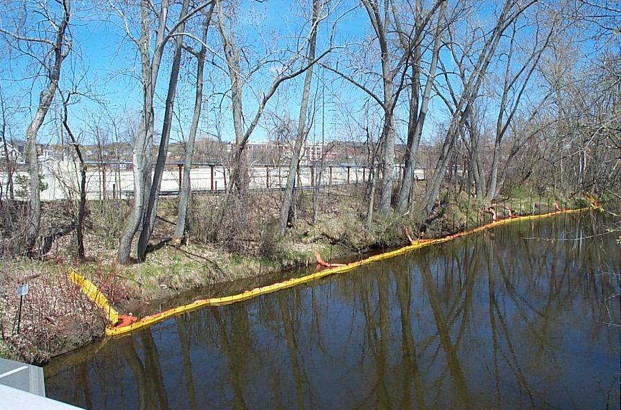
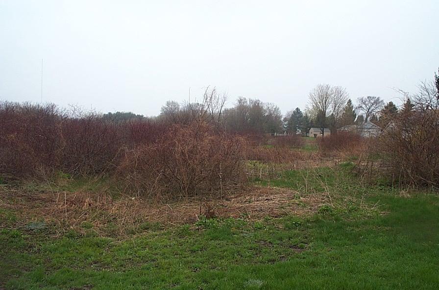
This Removal Action Area (RAA) occupies about 8 acres on seven privately-owned parcels, beginning approximately 250 ft downstream of the Lyman Street bridge, and includes two former bends in the river channel, Oxbows A and C. Former Oxbow Area A occupies a large open field along the south side of the Housatonic River, north of Elm Street and Newell Street. The majority of this area is undeveloped and covered with grass and low brush, although commercial businesses occupy a portion of the parcels containing the former Oxbow Area A. Former Oxbow Area C is located immediately northeast of Former Oxbow Area A, along the south side of the Housatonic River, near the end of Day Street. This area consists mostly of an undeveloped field surrounded by trees and brush. The Former Oxbow Areas A&C RAA does not include the banks of the Housatonic River, they are included in the 1½-Mile Reach Removal Action.
GE sampled this RAA in accordance with the Consent Decree and EPA-approved Pre-Design Investigation Work Plans. GE submitted Conceptual and Final Removal Design/Removal Action Work Plans and a series of addendums, revisions, and supplements from January 2005 through October 2006.
The EPA approved cleanup, primarily consisted of the removal and proper disposal of 5,985 cubic yards of soil, and the backfilling and restoration of the affected areas. The site work took place between July and November 2006. In May 2008, GE submitted a Final Completion Report and certified that all actions required by the Consent Decree (excluding Post-Removal Site Control Activities) were completed and that the soil-related Performance Standards (health and ecological standards) were attained. On May 21, 2008, Massachusetts DEP sent a letter to EPA concurring that GE completed all actions required by the Consent Decree (excluding Post-Removal Site Control Activities). On June 3, 2008, EPA issued GE a Certificate of Completion for the Former Oxbows A & C RAA and transmitted the Certificate of Completion to GE, along with an approval letter for GE's Final Completion Report.
Lyman Street Area
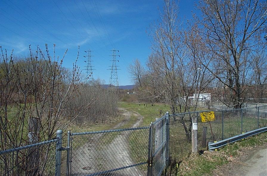
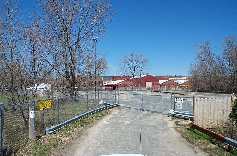
This Removal Action Area (RAA) is about 17.5 acres and generally bounded by the Housatonic River banks to the south, the East Street Area 2-South RAA to the east, East Street and several commercial properties to the north, and Cove Street to the west. Lyman Street bisects the RAA into two areas. The portion of the RAA east of Lyman Street consists of the GE-owned former Lyman Street parking lot, which was paved prior to the cleanup and an undeveloped parcel owned by Western Massachusetts Electric Company that had high tension electricity transmission lines. Former Oxbow Area D is underneath the GE-owned former parking lot and Former Oxbow Area E is located within the Western Massachusetts Electric Company property. The portion west of Lyman Street is known as Oxbow Area B, consisting of recreational and commercial properties.
The Lyman Street RAA does not include the banks of the Housatonic River. The banks of the river east of Lyman Street are included in the Upper ½-Mile Reach Removal Action and the banks of the River west of Lyman Street are included in the 1½ Mile Reach Removal Action.
GE sampled this area in accordance with the Consent Decree and EPA-approved Pre-Design Investigation Work Plans. GE submitted a Conceptual Removal Design/Removal Action Work Plan in March 2004, a supplement to the Conceptual Removal Design/Removal Action Work Plan in January 2005, an Addendum to the Conceptual Removal Design/Removal Action Work Plan in May 2005, a Final Removal Design/Removal Action Work Plan in September 2005 and an Addendum to the Final Removal Design/Removal Action Work Plan in April 2006. EPA conditionally approved all of these Work Plans.
Cleanup activities were conducted in two phases. GE performed the work at the properties west of Lyman Street between August and September 2006. This included the removal and proper disposal of 3,260 cubic yards of soil, backfilling, and the restoration of the affected areas. Work to address the properties east of Lyman Street took place between May and November 2007. Cleanup activities included the removal and proper disposal of 830 cubic yards of soil, installation of a 133,260 square foot vegetated engineered barrier, and the backfilling and restoration of the affected areas.
For this entire RAA, GE removed and properly disposed of 4,090 cubic yards of soil. Final restoration activities were completed on June 13, 2008.
In August 2009, GE submitted a Final Completion Report and certified that all actions required by the Consent Decree (excluding Post-Removal Site Control Activities) were completed and that the soil-related Performance Standards were attained. On September 10, 2009, Massachusetts DEP sent a letter to EPA concurring that GE completed all actions required by the Consent Decree (excluding Post-Removal Site Control Activities). On September 14, 2009, EPA issued GE a Certificate of Completion for the Lyman Street Area RAA and transmitted the Certificate of Completion to GE, along with an approval letter for GE's Final Completion Report.
Newell Street Area II
This Removal Action Area (RAA) occupies approximately 8 acres and is generally bounded by the Housatonic River to the north, Newell Street and residential properties to the south, Sackett Street to the west, and the Newell Street Area I RAA to the east. This area includes Former Oxbows F and G and low-lying areas associated with the Housatonic River that were filled as described above. Approximately 3 acres of this RAA is the GE-owned former Newell Street Parking Lot, under which, Former Oxbow G is located. The remaining GE-owned portions of this RAA are undeveloped. The non-GE-owned portions of this RAA consist of a City-owned parcel where a stormwater drain is located, two undeveloped parcels owned by the Western Massachusetts Electric Company that has high-tension electricity transmission lines (and is where Former Oxbow F is located), one other undeveloped property, and portions of undeveloped Vermont and Ontario Streets.
The Newell Street Area II RAA does not include the banks of the Housatonic River. The banks of the river along this RAA are included in the Upper ½-Mile Reach Removal Action.
GE sampled this RAA in accordance with the Consent Decree and EPA-approved Pre-Design Investigation Work Plans and supplements. GE submitted Conceptual and Final Removal Design/Removal Action Work Plans and a series of addendums, revisions, and supplements from July 2004 through April 2009, all of which EPA conditionally approved.
While, the original Work Plan called for soil removal and installation of a vegetative engineered barrier; the discovery of buried drums and capacitors during soil excavation activities, resulted in additional work. During further investigations and removal activities, discernible containers and associated soil were excavated. Remedial activities for the RAA were initiated in July 2005 and were mostly completed in June 2006. Minor remediation activities were also performed on the undeveloped portions of Ontario and Vermont Streets in June 2009. In total, 155,750 square feet of engineered barrier was installed, 461 overpack drums were sent for off site disposal, including 89 with liquid-filled drums and 372 with intact capacitors that contained liquids, and 21,865 cubic yards of soil was removed, of which 4,115 cubic yards was generated during the supplemental container removal activities.
In October 2009, GE submitted a Final Completion Report certifying that all actions required by the Consent Decree (excluding Post-Removal Site Control Activities) were completed and that the soil-related Performance Standards were attained. On November 18, 2009, Massachusetts DEP sent a letter to EPA concurring that GE completed all actions required by the Consent Decree (excluding Post-Removal Site Control Activities). On November 23, 2009, EPA issued GE a Certificate of Completion for the Newell Street Area II RAA and transmitted the Certificate of Completion to GE, along with an approval letter for GE's Final Completion Report.
Newell Street Area I
This Removal Action Area (RAA) occupies approximately 11 acres on 10 commercial/ industrial properties and 3 recreational properties located along Newell Street. The RAA consists of land that includes Former Oxbow I and low-lying areas associated with the Housatonic River that were filled as described above. The RAA is generally bounded by the Housatonic River to the north, Newell Street to the south, the Hibbard School playground to the east (also known as the Lakewood Playground, note that the northwest corner of that playground falls within this RAA), and Ontario Street Extension and the GE-owned former Newell Street Parking Lot (Newell Street Area II) to the west.
The Newell Street Area I RAA does not include the banks of the Housatonic River. The banks of the river along this RAA are included in the Upper ½-Mile Reach Removal Action.
Sampling of this area was completed per the requirements of the Consent Decree and EPA-approved Pre-Design Investigation Work Plans and supplements. GE submitted Conceptual and Final Removal Design/Removal Action Work Plans from January 2002 to June 2004, all of which EPA conditionally approved.
The remediation approved by EPA, conducted by GE at this RAA, primarily consisted of the removal and proper disposal of 14,810 cubic yards of soil and installation of 66,840 square feet of engineered barrier. Two buildings formerly located on GE-owned parcels were demolished and the demolition debris was disposed at the Building 71 On-Plant Consolidation Area. In addition, 137 drums of waste including liquid fill drums and intact capacitors with liquid contents, were disposed of at licensed off-site disposal facilities. The cleanup work took place primarily from September 2003 through June 2006. Minor activities were also performed on one parcel from November 7 to November 9, 2007. In July 2008, GE submitted a Final Completion Report and certified that all actions required by the Consent Decree (excluding Post-Removal Site Control Activities) were completed and that the soil-related Performance Standards were attained. On August 21, 2008, Massachusetts DEP sent a letter to EPA concurring that GE completed all actions required by the Consent Decree (excluding Post-Removal Site Control Activities). On August 27, 2008, EPA issued GE a Certificate of Completion for the Newell Street Area I RAA and transmitted the Certificate of Completion to GE, along with an approval letter for GE's Final Completion Report.
Former Oxbow Areas J and K
This Removal Action Area (RAA) is located approximately 2,500 feet upstream of the Newell Street bridge (which marks the upstream end of the Upper ½-Mile Reach). The Former Oxbow J component of the RAA is approximately 6 acres in size, and is located along the north side of the Housatonic River, south of East Street, and between Fasce Place and Commercial Street. Former Oxbow Area J is composed of both recreational and commercial properties. The Former Oxbow K component of the RAA encompasses approximately 2 acres and is located along the south side of the Housatonic River across from Former Oxbow Area J, near Ventura Avenue. Former Oxbow Area K consists of undeveloped recreational properties and one residential property (that consists of two tax ID parcels).
In this case, both the riverbank and non-riverbank portions of the affected parcels are included within this RAA.
GE sampled this RAA in accordance with the Consent Decree and EPA-approved Pre-Design Investigation Work Plans. GE submitted a Conceptual Removal Design/Removal Action Work Plan in March 2005, a Final Removal Design/Removal Action Work Plan in September 2005 and an Addendum to the Final Removal Design/Removal Action Work Plan in April 2006. EPA conditionally approved all of these Work Plans. Between July and November 2006, GE performed the required remediation and restoration activities, which included the removal and proper disposal of 1,955 cubic yards of soil.
In May, 2008, GE submitted a Final Completion Report and certified that all actions required by the Consent Decree (excluding Post-Removal Site Control Activities) were completed and that the soil-related Performance Standards were attained. On May 21, 2008, Massachusetts DEP sent a letter to EPA concurring that GE completed all actions required by the Consent Decree (excluding Post-Removal Site Control Activities). On June 3, 2008, EPA issued GE a Certificate of Completion for the Former Oxbows J & K RAA and transmitted the Certificate of Completion to GE, along with an approval letter for GE's Final Completion Report.
Reports for the Former Filled Oxbows
The following list of reports and documents has been selected to provide an overview of the environmental investigations and remedial actions conducted for the Oxbow Areas. Most of the available reports and documents were produced for General Electric by their environmental consultants.


