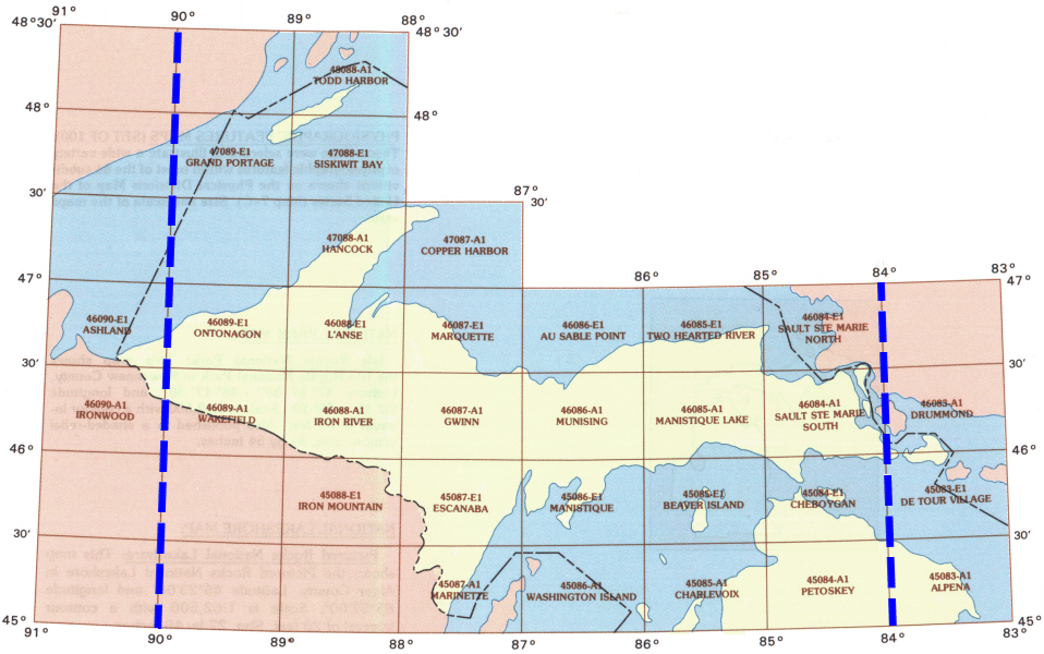
WhAEM2000 BBM Files - Michigan (Upper Penninsula)
To find binary base map data for a specific geographic area, click on the appropriate 30 by 60 minute quadrangle on the state map below. A Web page containing a graphic of the 30 by 60 minute quadrangle will display eight subdivided 15 by 15 minute quadrangles. Alternatively, you can choose from an alphabetical text list of available 30 by 60 minute quadrangles.

| Alpena | Ashland | Au Sable Point | Beaver Island | Charlevoix | Cheboygan | Copper Harbor | De Tour Village | Drummond | Escanaba | Grand Portage | Gwinn | Hancock | Iron Mountain | Iron River | Ironwood | LAnse | Manistique Lake | Manistique | Marinette | Marquette | Munising | Ontonagon | Petoskey | Ssmarien | Sault Ste Marie South | Siskiwit Bay | Todd Harbor | Two Hearted River | Wakefield | Washington Island |
