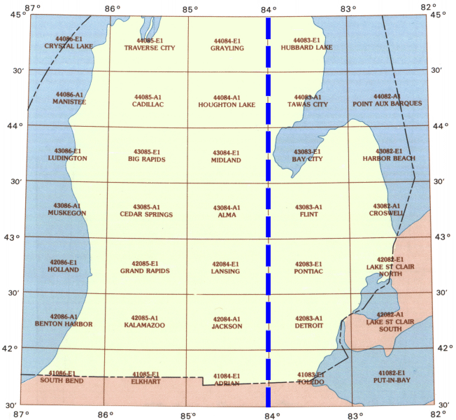
WhAEM2000 BBM Files - Michigan (Lower Penninsula)
To find binary base map data for a specific geographic area, click on the appropriate 30 by 60 minute quadrangle on the state map below. A Web page containing a graphic of the 30 by 60 minute quadrangle will display eight subdivided 15 by 15 minute quadrangles. Alternatively, you can choose from an alphabetical text list of available 30 by 60 minute quadrangles.

| Adrian | Alma | Bay City | Benton Harbor | Big Rapids | Cadillac | Cedar Springs | Croswell | Crystal | Detroit | Elkhart | Flint | Grand Rapids | Grayling | Harbor Beach | Holland | Houghton | Hubbard | Jackson | Kalamazoo | Lake Saint Clair North | Lake St. Clair South | Lansing | Ludington | Manistee | Midland | Muskegon | Pointe aux Barques | Pontiac | South Bend | Tawas City | Toledo | Traverse |
