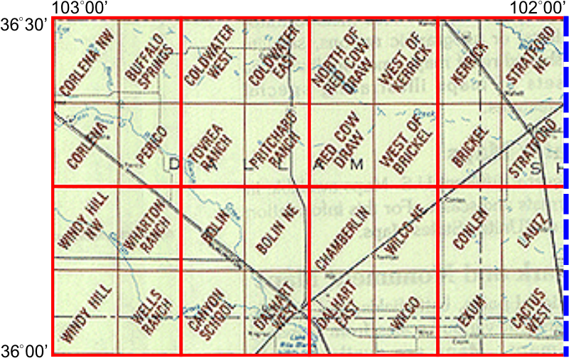
WhAEM2000 BBM Files - Dalhart, Texas (West)
Click on any of the eight 15 by 15 minute quadrangles (outlined in red) to download binary base map files for that area. Alternatively, you can choose from a text list of available 15 by 15 minute quadrangles.
Each compressed download file contains binary base map files for roads, miscellaneous transportation, railroads, and streams. The download files are compressed as self-extracting Zip files and can be extracted to the directory of your choice.

| Quad 1 | Quad 2 | Quad 3 | Quad 4 | Quad 5 | Quad 6 | Quad 7 | Quad 8 |
