About the Ashtabula River AOC
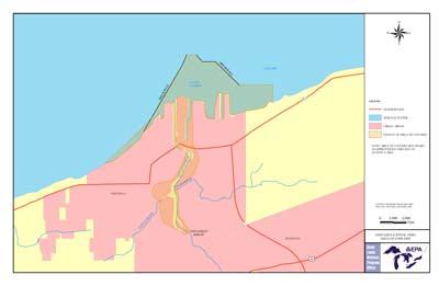 Ashtabula River AOC Boundary Map
The Great Lakes Water Quality Agreement defined an Area of Concern as a location that has experienced environmental degradation. The Ashtabula River AOC lies in extreme northeast Ohio. The Ashtabula River flows into Lake Erie's central basin at the city of Ashtabula. The city of Ashtabula is the only significant urban center in the watershed. The rest of the drainage basin is located in predominantly rural and agricultural areas. Major tributaries include Fields Brook and Strong Brook.
Beneficial Use Impairments
Uses of Lake Erie that are valued by society include such things as water quality suitable for drinking, swimming, agricultural and insutrial uses and health fish and wildlife populations. When these uses are harmed by pollution they are called beneficial use impairments, or BUIs. The GLWQA lists fourteen BUIs present in the Great Lakes Basin, six of which applied to the Ashtabula River AOC:
- Restrictions on fish and wildlife consumption -REMOVED 2014
- Degradation of fish and wildlife populations -REMOVED 2014
- Loss of fish and wildlife habitat -REMOVED 2014
- Degradation of benthos
- Restriction on dredging activities
- Fish tumors or other deformities