Microenvironment Tracker (MicroTrac) Model helps track air quality
What is MicroTrac?
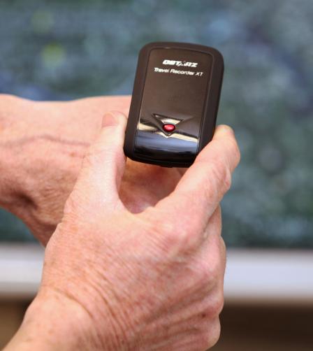 GPS data loggers like this one collect information on a person's location and speed for input into MicroTrac.Microenvironment Tracker (MicroTrac) is a model that uses global positioning system (GPS) data to estimate time of day and duration that people spend in different microenvironments (e.g., indoors and outdoors at home, work, school). Accounting for the amount of time individuals spend in particular locations can improve air pollution exposure assessments for health studies and risk assessments.
What are the benefits of using MicroTrac?
A critical aspect of air pollution exposure assessment is the estimation of the time spent by individuals in various microenvironments. Accounting for the time spent in different microenvironments with different pollutant concentrations can reduce exposure misclassifications, while failure to do so can add uncertainty and bias to health risk estimates. MicroTrac can help reduce the time-location uncertainty in air pollution exposure models used to predict exposure metrics for individuals in health studies. MicroTrac could also help improve the time-activity databases used for population-level exposure assessments.
MicroTrac addresses the limitations of time-activity diaries, which include burden on participants, inaccuracies due to recall and reporting errors. Also, MicroTrac addresses the various challenges with manual processing of GPS data to determine time spent in different microenvironments, including:
- Datasets that are large (potentially thousands of data points per person per day) and multidimensional (location, speed, time, satellite signal quality);
- Missing data due to no GPS signal reception;
- GPS spatial inaccuracies due to temporal and spatial variations in satellite geometry, and signal reflection from nearby objects, and;
- Difficulty discriminating among certain microenvironments.
Who should use MicroTrac?
MicroTrac can be used by exposure scientists, health scientists, and epidemiologists for various applications. MicroTrac can be integrated with exposure models to estimate exposure metrics for epidemiologic analyses and risk assessments. Also, using MicroTrac with personal GPS devices, movement sensors (e.g., accelerometers), air pollutant monitors, and health monitors in exposure and health effect studies will allow scientists to link the location and activity of study participants with air pollution concentrations and health effects.
How does MicroTrac work?
MicroTrac is an automated classification model that estimates time of day and duration spent by individuals in eight microenvironments (indoors and outdoors at home, work, school; inside vehicles; other locations). Inputs for MicroTrac include GPS time-course data (position, speed, signal quality) and geocoded boundaries of building rooftops for participant homes, workplaces, and schools. MicroTrac determines which microenvironment corresponds to the location of an individual at each GPS sampling time.
MicroTrac has several novel features to classify GPS samples. First, MicroTrac uses spatial buffering of building boundaries to account for the spatial GPS inaccuracies. Second, MicroTrac uses temporal buffering of GPS data to account for spatial errors that occur near structures that reflect GPS signals (e.g., tall buildings, dense clusters of trees). Also, temporal filtering of GPS speed samples is used to reduce misclassifications while inside vehicles that are moving slowly or stopped (e.g., traffic congestion, traffic signals).
How is MicroTrac currently being used?
MicroTrac was evaluated in a pilot study in central North Carolina (see publication below), and additional evaluations are ongoing with North Carolina State University and Hong Kong University of Science and Technology. The model is being applied in various air pollution health studies. In a recent central North Carolina cardiovascular health study, MicroTrac was integrated with an exposure model and outdoor air quality model to predict exposures, which will be used for the health analysis.
MicroTrac is expected to improve exposure assessments for health studies, which provide the scientific basis for air pollution regulations. It is also expected to assist in the development of public health strategies to reduce air pollution exposures for susceptible individuals (e.g., asthmatics).
Model Code
- Download the MicroTrac Model (.exe)(1 pg, 6 MB)
Model Documentation
Test Case
These Test Case input files should be loaded into the MicroTrac Model. The MicroTrac User Guide explains how to do this on page 6.
- Input file: Test GPS Data(.csv)(1 pg, 4 MB)
- Input file: Dawn Dusk Times (.csv)(1 pg, 84 B)
- Input file: Test Home (.kml)(1 pg, 2 K)
- Input file: Test School (.kml)(1 pg, 2 K)
- Input file:Test Work (.kml)(1 pg, 1 K)
This Test Case output file is used to confirm MicroTrac results from Test Case. The MicroTrac User Guide explains how to do this on page 6.
- Output file: Test Results (.txt)(1 pg, 1 K)
Publication
EPA Technical Contact
Michael Breen
breen.michael@epa.gov